Measles Outbreaks Hit Washington and Arizona—New Map Shows Your ZIP Code's Risk Level
As measles cases emerge in multiple states, a new interactive tool lets Americans check their neighborhood's vaccination coverage and outbreak risk by ZIP code. Health officials warn more cases are expected.
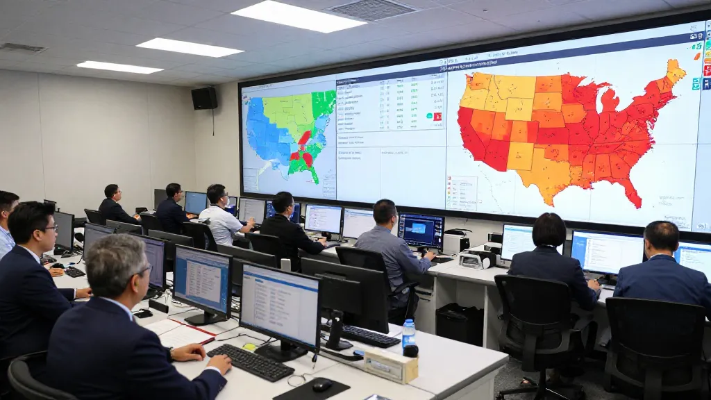
Measles cases are cropping up across the United States, and for the first time, Americans can now check their own neighborhood’s risk level with a groundbreaking new tool. As health officials in Washington and Arizona grapple with confirmed outbreaks, an interactive map has launched that lets you type in your ZIP code to see estimated vaccination coverage in your area—and understand just how vulnerable your community might be.
Outbreaks Confirmed in Two States
The measles resurgence is no longer a distant concern. Snohomish County in Washington State officially declared an outbreak this month, with health officials bracing for more cases to emerge. “We’re expecting more measles cases as a result of the previous exposures as well as these new outbreak cases,” warned Dr. James Lewis, Snohomish County Health Officer.
Meanwhile, Maricopa County health officials in Arizona confirmed the Phoenix area’s first measles case of 2026 on Thursday, signaling that the highly contagious disease is spreading across multiple regions simultaneously.
Revolutionary ZIP Code Risk Tool Launches
The timing couldn’t be more critical for a new interactive mapping tool that’s generating buzz across social media. The map allows users to enter their ZIP code and instantly see an estimated percentage of their neighbors who have been vaccinated against measles. This hyperlocal data gives families unprecedented insight into their community’s vulnerability to outbreaks.
How the Map Works
The tool provides vaccination coverage estimates at the neighborhood level, helping residents understand whether they live in areas with strong immunization rates or potential pockets of vulnerability. While specific details about the map’s data methodology weren’t immediately available, the tool represents a significant step forward in making public health information accessible to everyday Americans.
What Health Experts Want You to Know
As measles continues to spread, health officials are emphasizing several key points for concerned residents:
- Measles is extremely contagious—up to 90% of unvaccinated people exposed will contract the disease
- The virus can linger in the air for up to two hours after an infected person leaves
- Vaccination remains the most effective protection against infection
- Community immunity depends on high vaccination rates across neighborhoods
Why Vaccination Coverage Matters
Measles thrives in communities with lower vaccination rates, making neighborhood-level data crucial for understanding risk. Areas with vaccination coverage below certain thresholds become more susceptible to rapid disease spread, potentially putting vulnerable populations—including infants too young for vaccination and immunocompromised individuals—at serious risk.
Looking Ahead
Health officials across multiple states are monitoring the situation closely, with reports suggesting that additional cases may emerge in the coming weeks. The combination of confirmed outbreaks and the new risk assessment tool is likely to spark renewed conversations about vaccination policies and community preparedness.
For now, the interactive map offers concerned Americans their first opportunity to assess their immediate surroundings and make informed decisions about their family’s health and safety. As measles cases continue to develop, this hyperlocal approach to risk assessment could prove invaluable for communities nationwide.